


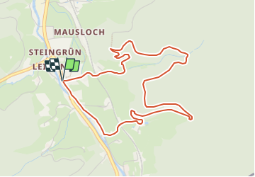

17,9 km | 29 km-effort

Tous les sentiers balisés d’Europe PRO


Application GPS de randonnée GRATUITE
 SityTrail
IGN / Instituts géographiques
SityTrail World
Le monde est à vous
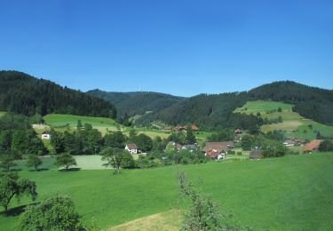
Randonnée A pied de 4,9 km à découvrir à Bade-Wurtemberg, Ortenaukreis, Gutach (Schwarzwaldbahn). Cette randonnée est proposée par SityTrail - itinéraires balisés pédestres.
Randonnée créée par Naturpark Schwarzwald.
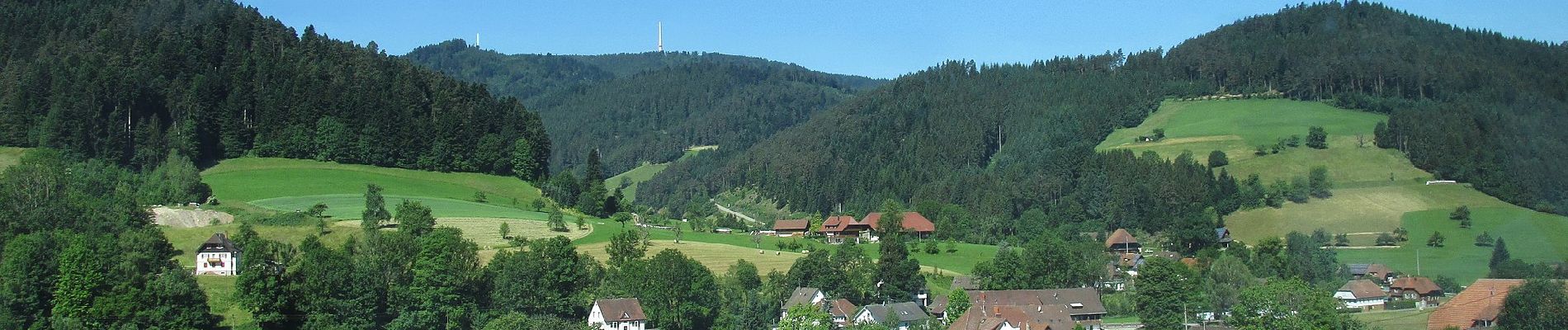
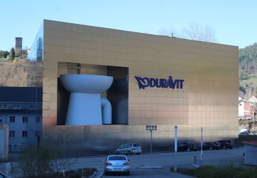
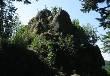
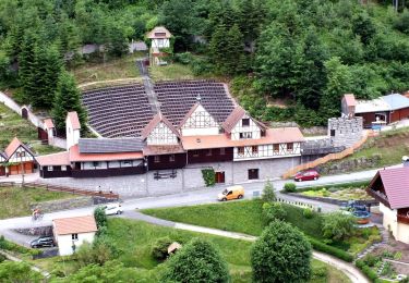
 - Gutach 5: Baumpfad - Photo 1")
 - Gutach 5: Baumpfad - Photo 2")
 - Gutach 5: Baumpfad - Photo 3")
 - Gutach 5: Baumpfad - Photo 4")
A pied
A pied
A pied
A pied

A pied
A pied
A pied
A pied

Marche